Try it
Use it the way a visitor would
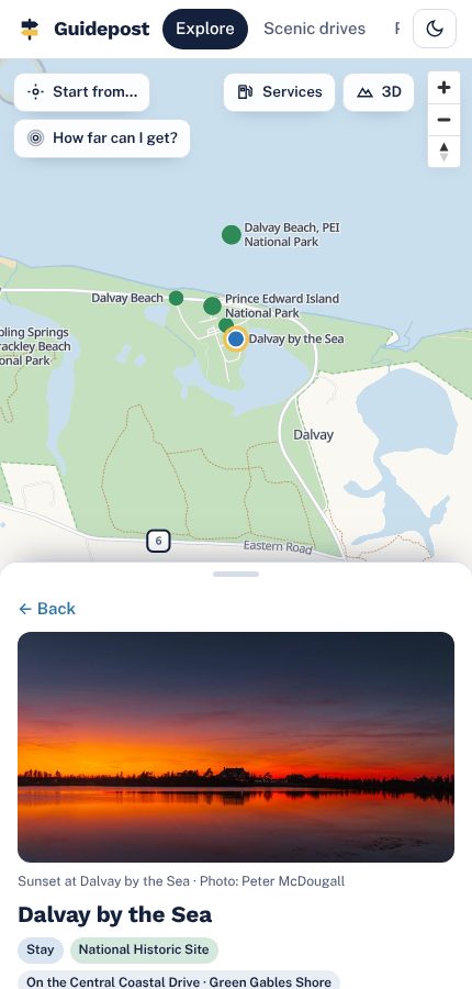
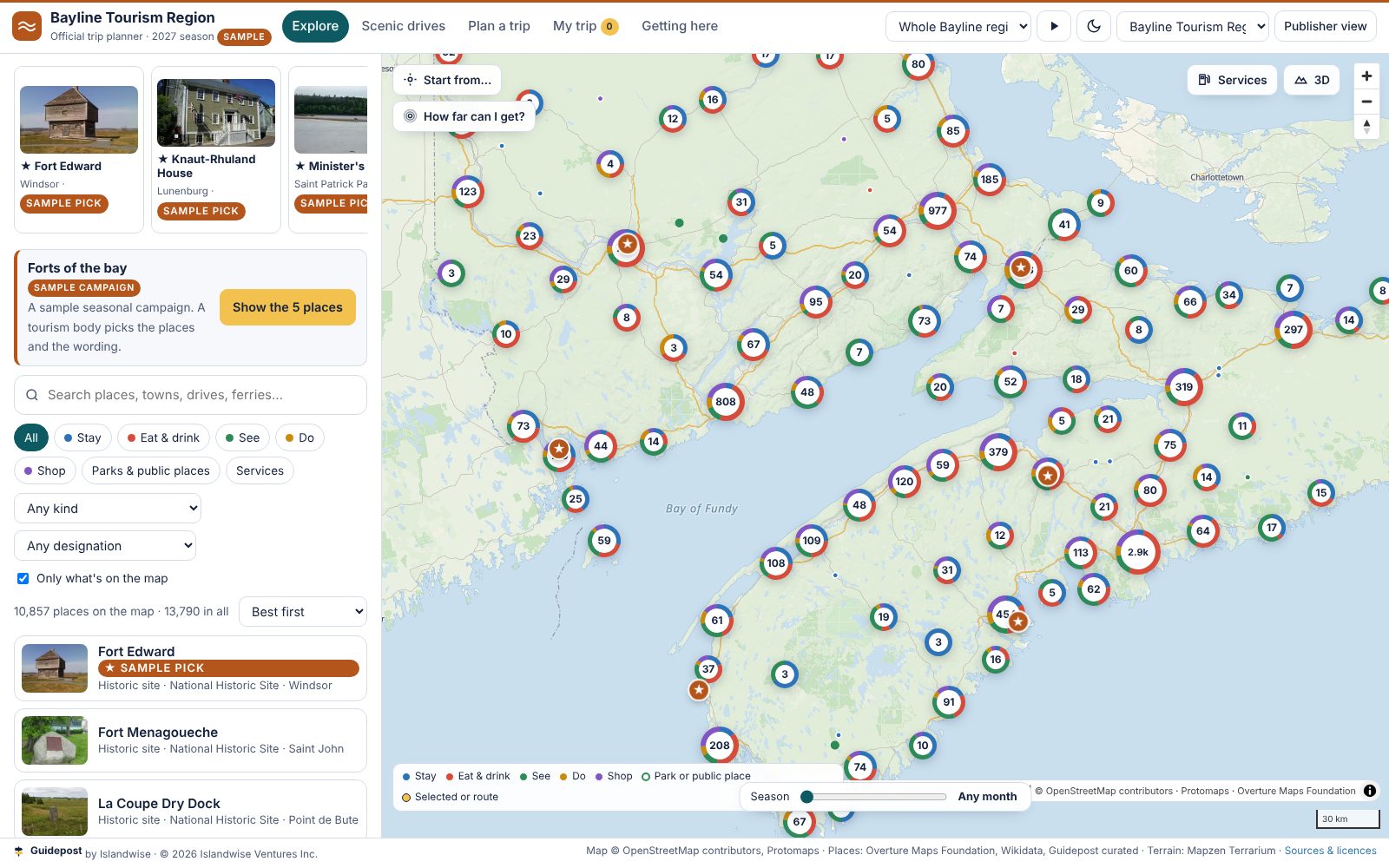
This is the working demo, running on public data for all four provinces. Search a town, play a scenic drive, or let the planner build a three-day trip. In the header you can switch it between two made-up sample brands to see how it looks under a board's own name. It's a demo for tourism boards: there's nothing to sign up for, and nothing you do here is saved or counted.
The full map, right here on the pageIt loads about 5 MB the first time, so it waits for you.
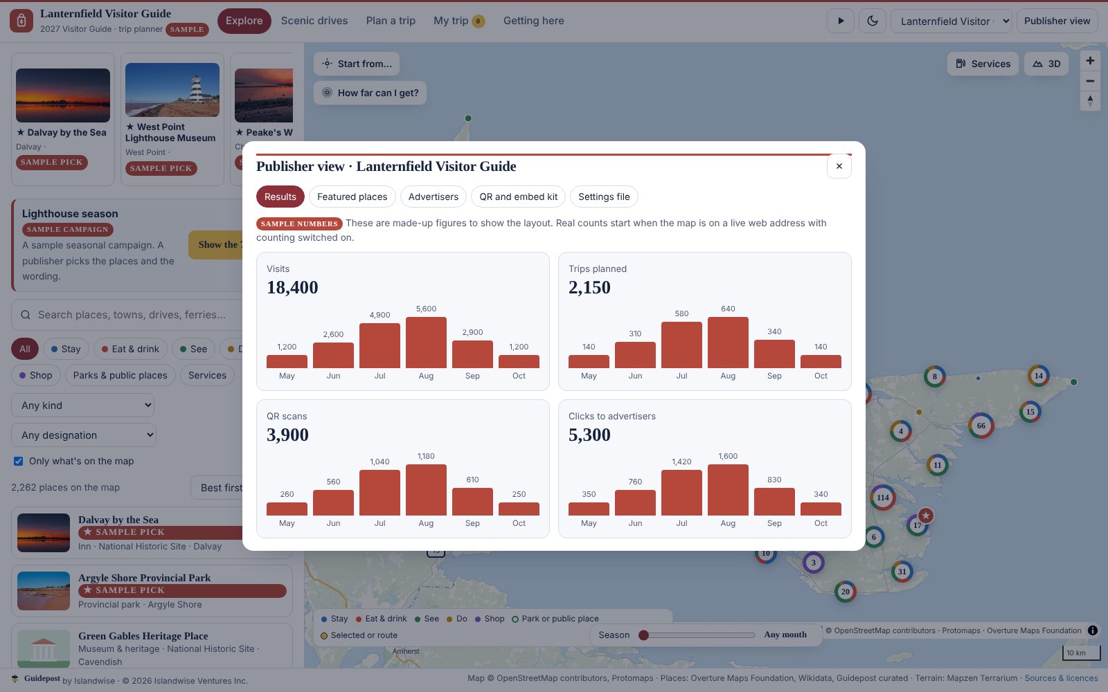
Sample brands, sample picks and sample numbers are labelled as samples. No tourism board is shown as a customer.
Coverage
The base, before anyone's name is on it
Counted from the data the map ships with, build of 7 November 2026. Drive lines are traced through the towns and landmarks on each route, on the shore and river roads rather than the highway bypass. The nine longest Nova Scotia, New Brunswick and Newfoundland routes are checked against the length the provincial tourism guide publishes and sit within 15% of it. "Services" is the everyday layer a guide leaves out: gas, EV charging, groceries, pharmacies, hospitals, ATMs, laundromats, car rental, airports and ferry terminals. It is off by default and one tap away.
What the map does
Built to be the best tourism map a visitor has used
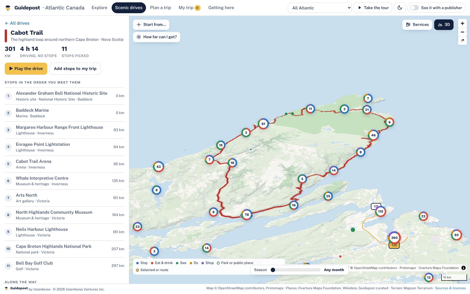
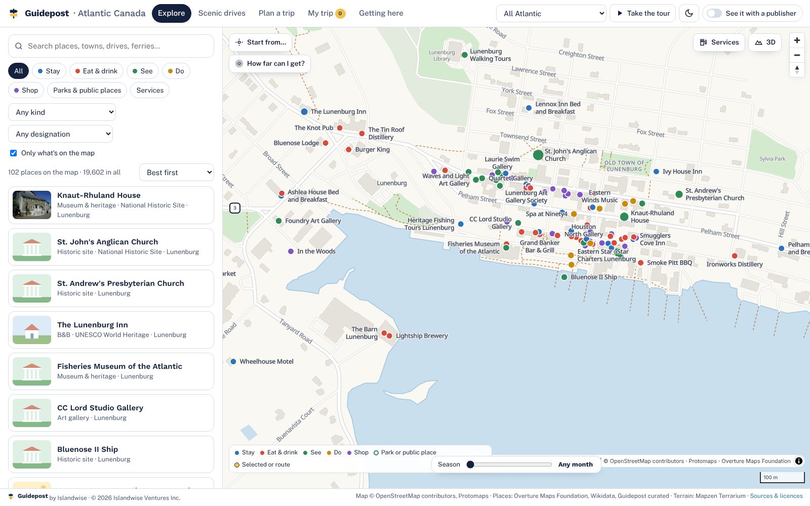
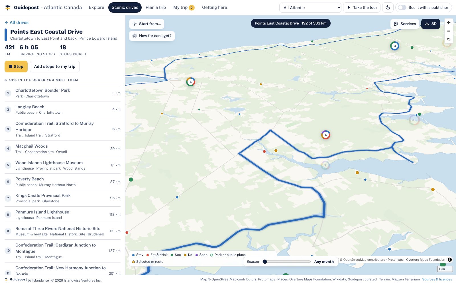
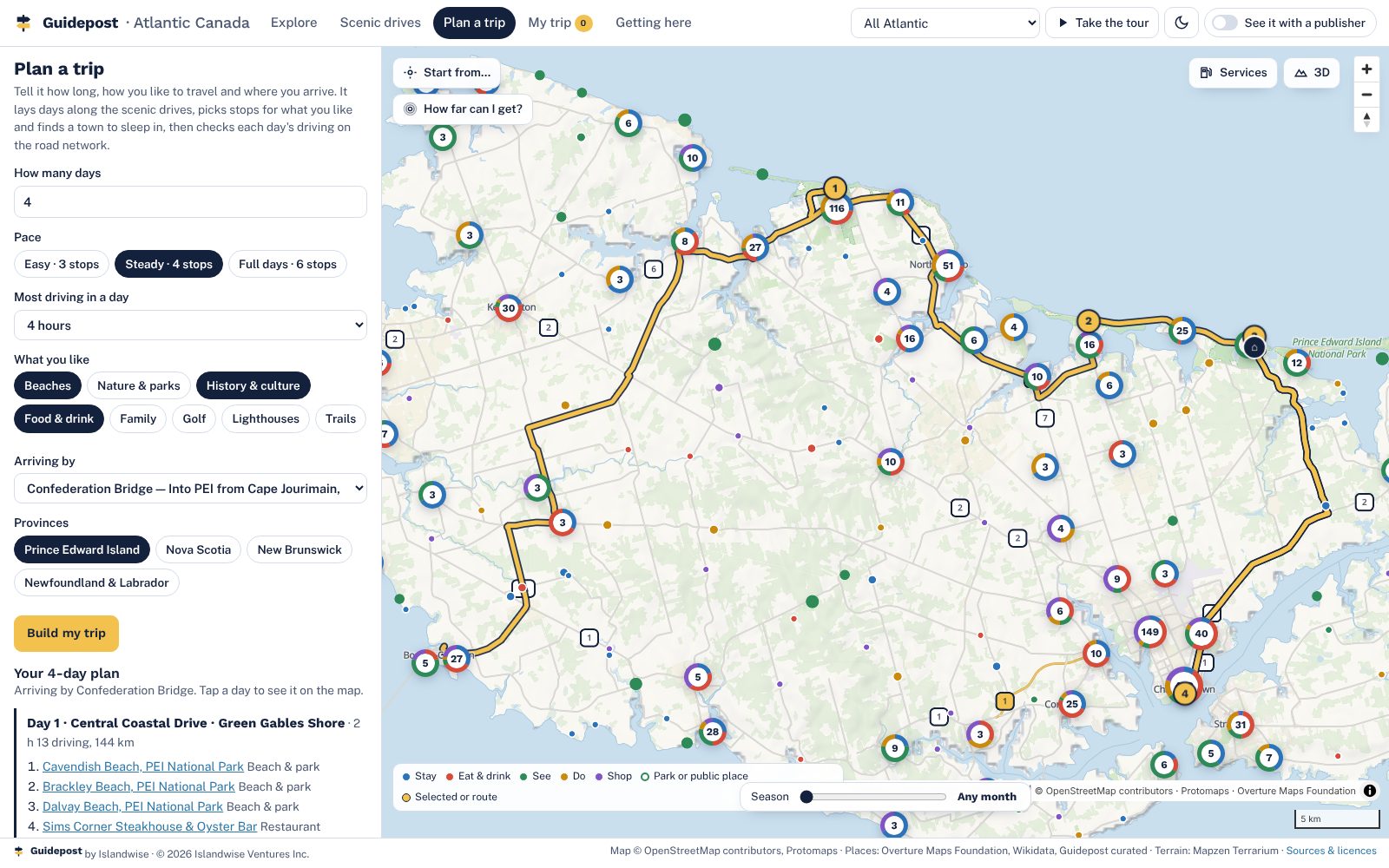
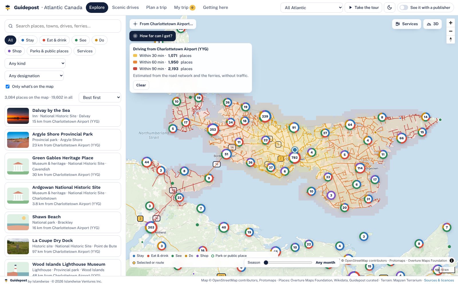
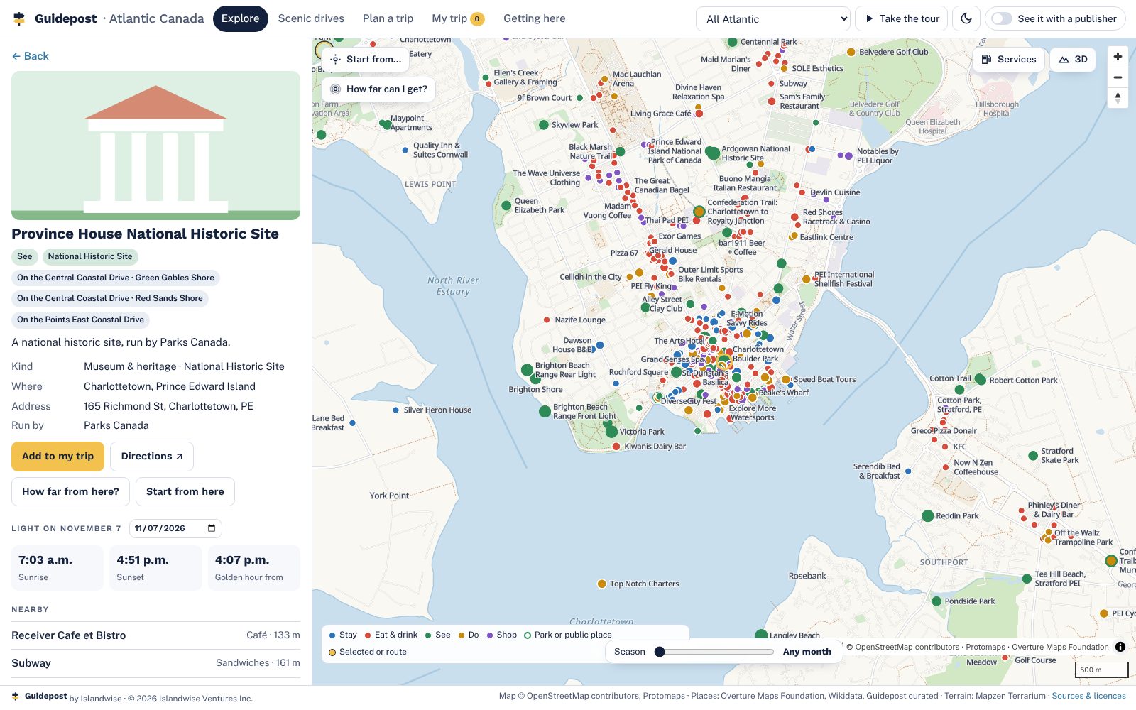
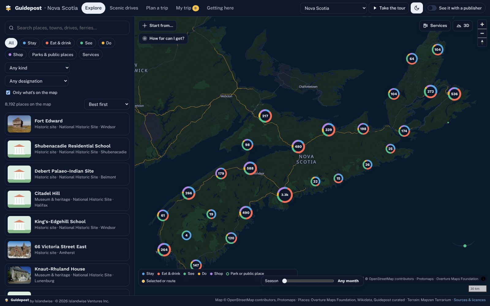
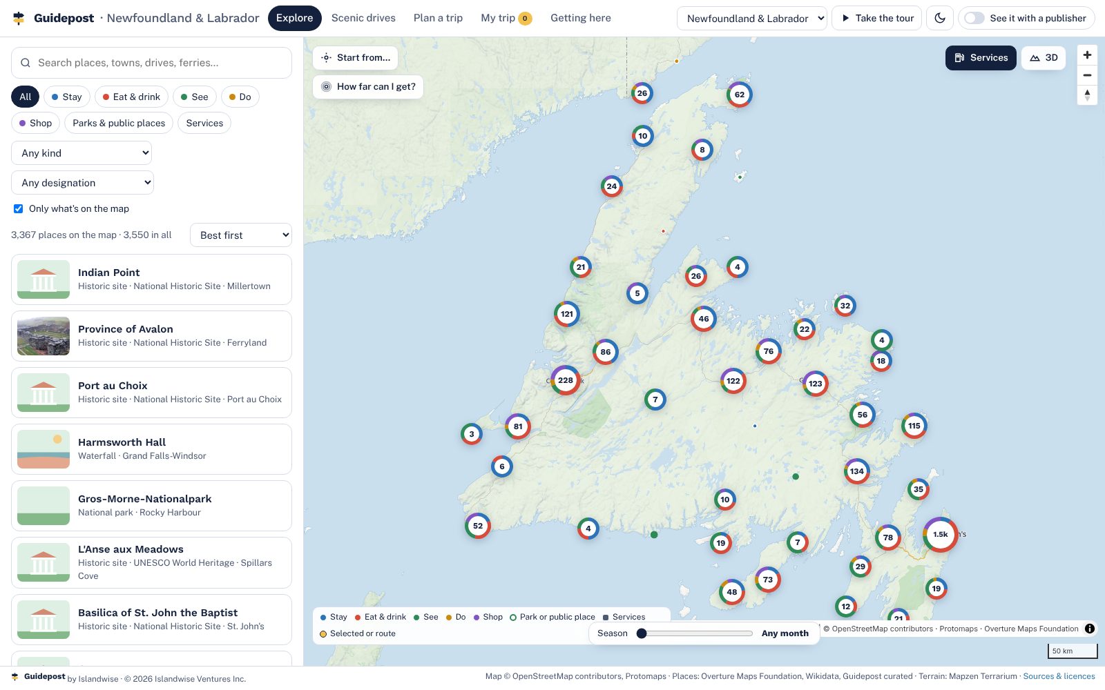
Your layer
What a publisher puts on top
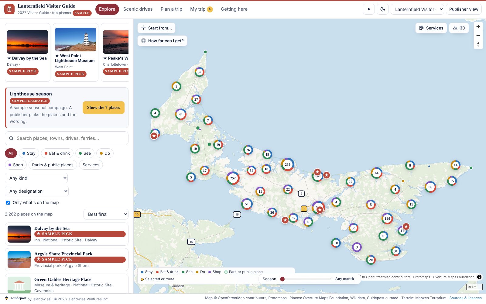
For tourism boards and regions
Already have a website? Keep it.
Guidepost is not a website. It is the map and planner layer that goes inside the one you have, with one line of code. Your site tells visitors what there is. This shows them what is near what, how long the drive is, and builds their days.
How a region comes on
A setup over one off-season, not a rebuild
The base map
Your region's base is already built. We check it with you: every place a visitor might need, the map, the drives. You see it before you decide anything.
Weeks 1 to 4Your layer
Your listings, picks and covers go in; your colours and your name go on the front. Your editors learn the admin in an afternoon.
Weeks 4 to 8Your advertisers
Each advertiser's listing is checked with them, their offers and booking links connected. We don't take a cut of the booking.
Weeks 8 to 14Live for opening day
Covers printed with the QR, counter cards at the centres, live for the season. A season report at the end, written so you can renew with it.
SeasonLicensing
In plain words
- A setup, then a yearly licence. The licence is how we're paid; there is no booking fee.
- Exclusive to one publisher per region while the licence is active.
- Your brand on the front; Guidepost once and small at the foot.
- Your listings, advertisers and visitor data are yours, exportable any day.
- Hosting, updates, routing and the base map are ours to keep current.
- A season report every year.
| Term | How it works |
|---|---|
| Setup | One off-season: your layer, advertisers, covers, counter cards on the finished base |
| Licence | Yearly, with a minimum term; renewals keep the region exclusive |
| Region exclusivity | One publisher per region while the licence is active |
| Brand placement | Yours on the front; "powered by Guidepost" at the foot |
| Data | Yours, exportable |
| Hosting and updates | Included |
| Bookings | Go to your partners; no fee taken |
Who it's for
Anyone who owns a region's visitors
Data, sources and privacy
Where the base comes from
Sources
- Map. OpenStreetMap contributors, in the Protomaps basemap build of 4 November 2026 (ODbL).
- Places. A hand-checked Guidepost core for PEI; Overture Maps Foundation places (release 2026-10-21, CDLA Permissive 2.0); Wikidata for lighthouses, parks, historic sites and museums (CC0); photos from Wikimedia Commons under the licence shown on each.
- Roads for routing. Overture Maps transportation, with the Confederation Bridge and the ferry crossings.
- Terrain. Mapzen Terrarium elevation tiles.
- Scenic drives. Route names and directions from Tourism PEI, Tourism Nova Scotia, Tourism New Brunswick and Newfoundland and Labrador Tourism; lines follow the main road between the towns on each route.
How it is kept current, and what it never does
- The base is rebuilt from the sources each off-season; every listing shows its source and the date it was pulled.
- Hours, prices and reviews are not in the base: the map never invents them, and a publisher's layer can add what it stands behind.
- Ferry sailings and tide times link to the operators and to the official tide tables; they are never guessed.
- No visitor tracking in the base map. A visitor's trip lives in their own browser until they choose to copy it.
- No app to install, nothing to sign up for.
Today
Where it stands
Prince Edward Island. Guidepost was built and hand-checked on PEI first; the full Atlantic base is built and open in the demo above.
Where next
Nova Scotia, New Brunswick, Newfoundland and Labrador
The base is already built for each. A publisher there starts at step two.
Islands and ferry regions
Places a visitor arrives at by ferry or bridge and plans a whole week around.
Destinations with a guide
Any publisher with a printed guide, a visitor centre and advertisers to renew.
About
Guidepost by Islandwise
Charlottetown, Prince Edward Island. Owned by Islandwise Ventures Inc.
Islandwise builds one visitor platform and sets it up for the publishers, destinations and resorts that own a region's tourism. Guidepost is the destination planner: built on PEI from public data, now covering all of Atlantic Canada.
Founder Peter McDougall grew up around the Island's golf and hospitality businesses and started the company because the places visitors needed were in the guide, and the guide wasn't in their pocket.
Contact
Tell us about your region
The guide, the visitor centres, the advertisers. Your region's base map is already built, so we can walk you through it on a call and come back with what a licence would cost.